-40%
U.S. 6 Continental Divide Loveland Pass Colorado Ski Area 1940's JUMBO PostCard
$ 9.24
- Description
- Size Guide
Description
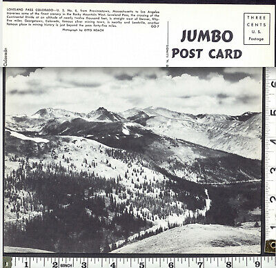
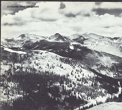
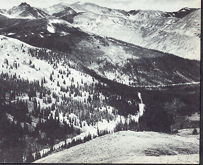
Frame it ? Jumbo Post Card: "Loveland Pass, Colorado." - circa 1940's
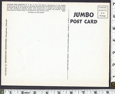
Jumbo Post-Card Company -- 2017 South Michigan Avenue, Chicago 16, Illinois
Reverse Text:
"Loveland Pass, Colorado"
(a.k.a. U.S. Route 6 / US 6 / U.S. Highway No. 6)
"U.S. No. 6
, from Provincetown, Massachusetts to Los Angeles traverses some of the
finest scenery in the Rocky Mountain West. Loveland Pass, the crossing of the
Continental Divide at an altitude of nearly twelve thousand feet, is straight west of Denver, fifty five miles.
Georgetown, Colorado, famous silver mining town, is nearby and
Leadville, another famous place in mining history is just beyond the pass forty-five miles."
"Photograph by Otto Roach."
-- Black & White giant oversized postcard
- view from the Continental Divide looking into the Keystone Ski Area and Arapahoe Basin Ski Area
Approx. 8.85 x 6.85 inches
= Large enough to Frame! - Colorado Railroad and Mining history.
Loveland Pass...
is located on the Continental Divide in the Front Range, west of Denver on U.S. Highway 6 (US 6).
The twisty road is considered to be especially treacherous during the winter months.
A steep, steady 6.7% grade, along with numerous hairpin turns on either side, make it difficult to snowplow the road regularly.
Loveland is the highest mountain pass in Colorado that regularly stays open during a snowy winter season.
When the Eisenhower Tunnel opened in March 1973, it allowed motorists on Interstate 70 (I-70) to avoid crossing the pass directly.
Trucks that cannot pass through the tunnel (those carrying hazardous materials and those over 13 feet 11 inches (4.24 m) in height)
must still take US 6 across Loveland Pass, 800 vertical feet (240 m) above the tunnel.
The same is true for bicyclists, pedestrians, and those drivers who wish to stop along the road to admire the scenery.
Loveland Ski Area is located north west of the pass, and
Arapahoe Basin is on the south/southeast side. The pass itself is a popular destination for backcountry skiers.
Occasionally during the winter, the pass road may be closed by a blizzard and all traffic must use the tunnel,
even the normally forbidden HAZMAT-carrying vehicles.
In the event of less serious winter storms, chain restrictions are often imposed.
At the Loveland Pass parking lot, visitors can access trails to the summits of Mount Sniktau and other nearby mountain peaks.[3][4]
The pass is named for William A.H. Loveland, the president of the Colorado Central Railroad and a resident of Golden during the late 19th century.
The city of Loveland, in Larimer County near Fort Collins, is also named after him. (Wikipedia)
======================================================================================
